The era when Geospatial Information Systems were the exclusive domain of survey departments is one that is now gone. Today, GIS and 3D mapping have evolved beyond being niche tools and are now critical for governments and businesses, with applications in planning urban development, making data-driven decisions, and enhancing land governance and infrastructure development.
At Mapex, we have continuously powered this transition of GIS and 3D Mapping from being niche technologies to mainstays that are redefining the growth of Indian Infrastructure. Over the years, we have not only followed trends but set them, having worked with leading state governments and private players.
In this article, we examine some of the key trends in GIS and 3D Mapping in 2025 that promise to transform the way we perceive these technologies, ushering in a new era. We place special emphasis on the Indian context in this blog to support our country’s government bodies and large private enterprises.
1. Hyper-Precision Mapping Through Ai and Edge Computing
The increasing prominence of new-age technologies, such as Ai and Edge Computing, isn’t limited to the tech or finance sectors. Today, these phenomena are also aligning with GIS. Rather than waiting for centralised systems to process satellite or drone data, edge devices can now generate insights immediately, which leads to a significant increase in efficiency.
Let us consider an example in urban traffic management. Real-time GIS data from sensors on vehicles and traffic signals can detect traffic jams and automatically adjust signal timings. The government of Delhi has already used this technology to reduce travel time by 15–20% in some areas. If extrapolated to a national scale, such initiatives can significantly increase productivity.
2. Integration of Geospatial Tech with Digital Twins
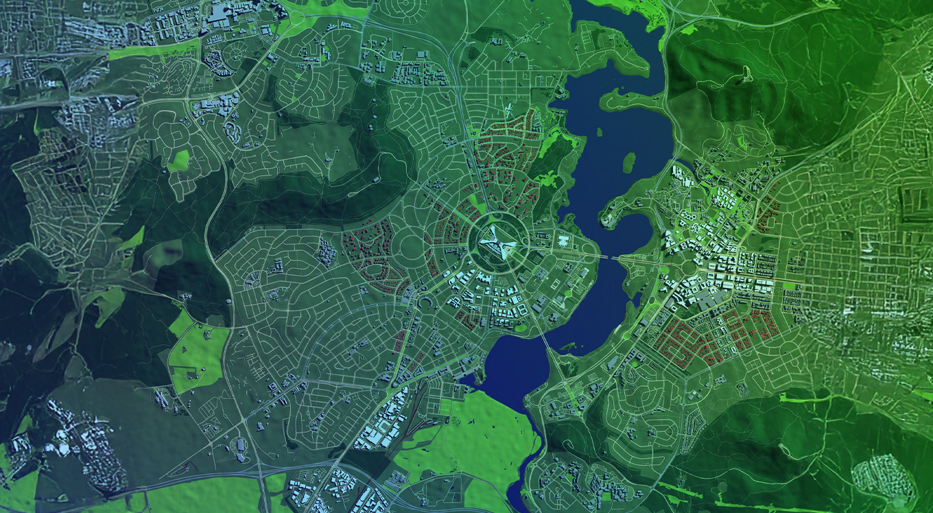
First things first, let’s decode a digital twin. It is a real-time digital replica of a physical entity. Whether it is a city, a building, or a road network, every such entity stored online is its digital twin. In 2025, digital twins built on top of GIS data are leading the change when it comes to how cities plan.
In India, the government is ushering in initiatives such as the National GIS initiative and the Gati Shakti programme that are using geospatial digital twins for infrastructure sync. For instance, ports, roads, and railways can now be planned holistically to avoid bottlenecks.
At Mapex, we help municipal bodies create accurate digital twins by combining maps with real-time data to improve maintenance, save energy, and manage risks better.
3. Satellite and Drone Integration for Hyperlocal Decision-Making
Today, India is rapidly adopting the use of satellite images and drones. From applications such as forecasting weather conditions to agricultural uses like crop monitoring, remote sensing is undoubtedly changing the game when it comes to decentralised decision-making.
To understand the scale even more, India operates 53 satellites, including the Cartosat and RISAT series, as of 2024. Further, the Survey of India has been aggressively digitising village-level maps through drone-based mapping under the SVAMITVA scheme.
4. Real-Time Property Mapping and Land Governance

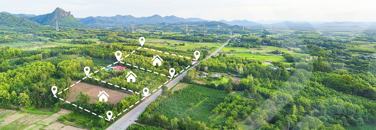
One of India’s key issues, especially when it comes to restricting investment and development, is inaccurate land records. In such a scenario, GIS-powered cadastral mapping is becoming an important solution for improving land titling, taxation, and dispute resolution.
The Digital India Land Records Modernisation Programme (DILRMP) has already brought GIS into state-level land record departments, and over 23 states are digitising village maps with georeferenced data.
Mapex is also helping this transition by supplying accurate data up to 5 centimetres, having already worked with different government bodies to improve land governance, increase taxation, and reduce litigation.
5. Climate Intelligence Powered by GIS
As urban areas increase and geographies are altered, urban heat islands, flash floods, and other climate-related changes are on the rise. By using GIS models, authorities can simulate flood paths, temperature gradients, and soil erosion to mitigate risks and help Indian cities build resilience.
These technologies are already being used in India. For instance, the city of Bhubaneswar used GIS-based flood modelling to redesign drainage capacity after a 1-in-50-year flood event. Similarly, Uttarakhand is using terrain mapping to monitor glacier movement and prevent disaster.
6. Private Sector Adoption: Logistics, Energy, and Telecom
Government departments were the first to adopt GIS in India, but in 2025, the private sector is catching up fast. Companies in logistics, renewable energy, and telecom are now actively using geospatial technology to improve their operations.
For instance, e-commerce and warehousing companies rely on GIS to plan delivery routes more efficiently and choose the best locations for their hubs. A great example is Reliance Jio, which is using GIS mapping to decide where to place 5G towers so they can reduce signal gaps and improve network coverage across the country.
7. Citizen-Centric GIS Platforms for Participatory Governance
GIS isn’t just for government use anymore. In 2025, more platforms are being built for citizens, making it easier for people to take part in local governance. For example, Andhra Pradesh’s “Bhugol” platform lets residents check land maps, ask questions, and confirm land ownership online. In Delhi, the “Green Delhi” app allows citizens to report pollution and cleanliness issues using location-based data.
8. Regulatory Push and Open Geospatial Policies
India’s geospatial policy was updated in 2021 to make things easier for organisations working with mapping technology. The need for prior approvals was removed, which opened the door for more innovation, private companies, and startups to enter the space. By 2025, this shift has led to strong growth in geospatial startups, new partnerships with universities, and closer collaboration between the government and private sector.
The National Geospatial Policy, introduced in 2022, takes this even further, aiming to make India a global leader in geospatial technology by 2030, with the market expected to reach $20 billion. Tools like the Indian Geo-Platform (IGP) will help different ministries and departments share data more easily and work more efficiently.
10. Geospatial Analytics for ESG and CSR Compliance
Environmental, Social, and Governance (ESG) goals are now a big part of how companies in India are expected to operate. With stricter reporting rules, businesses must track aspects such as pollution, carbon emissions, and the impact of their activities on the environment. GIS makes this easier by helping companies map and monitor these impacts, such as tracking transportation emissions or checking for construction near protected areas. Thanks to SEBI’s new BRSR guidelines, firms are required to report their environmental risks, and GIS tools can help automate much of this process, saving time and improving accuracy.
Conclusion: Why It Matters for Indian Institutions
In summary, India faces numerous challenges, including high population density, frequent land disputes, and rapid urban growth. Thus, GIS and 3D mapping are no longer just optional tools. They have become essential for effective governance, better risk management, and sustainable development. These technologies help government bodies by bringing in clarity, improving efficiency, and enabling data-driven decision-making. For businesses, they provide powerful insights that help boost performance, reduce costs, and ensure compliance.
At Mapexi, we are leading the GIS change with precise solutions, continuous innovation, and a strong focus on solving India’s real-world challenges.
Mapex is helping shape the future through intelligent mapping.


Share this Article :
Published at: 20-08-2025